WebGIS programme
WebGIS enables browser-based access, analysis, and sharing of spatial data, supporting real-time collaboration and decision-making across multiple industries.
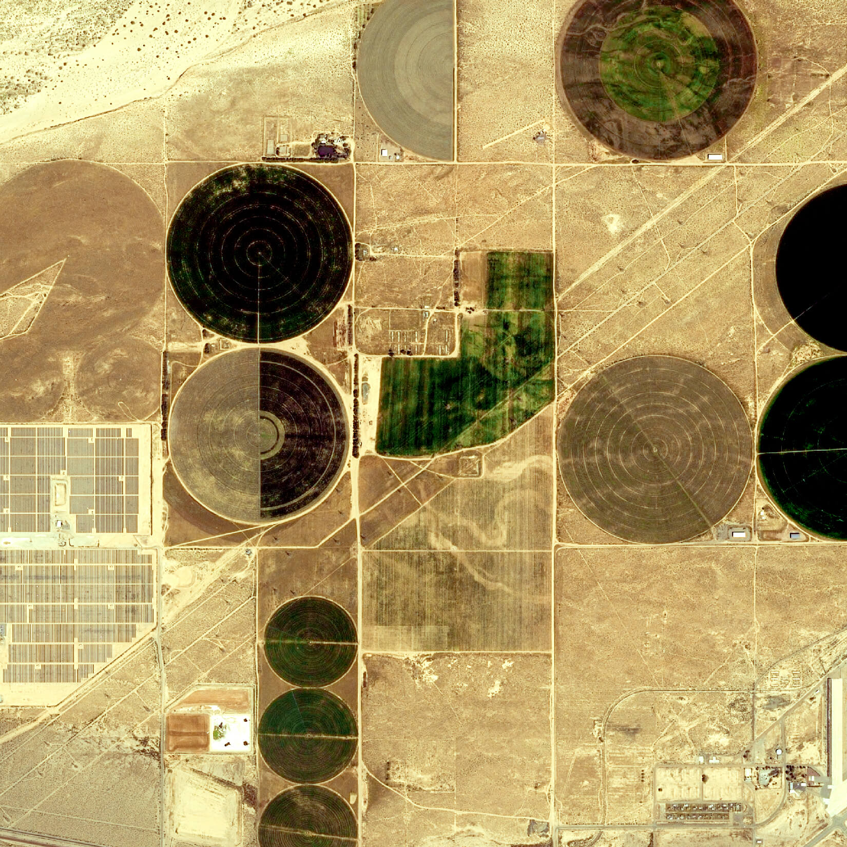
Farmer App
The Farmer App (mobile and web) monitors agricultural areas using satellite imagery and integrated data sources. It delivers vegetation indices (NDVI, NDWI, NDRE), temperature, and crop growth stage insights through dashboards, maps, and reports to support informed decision-making.
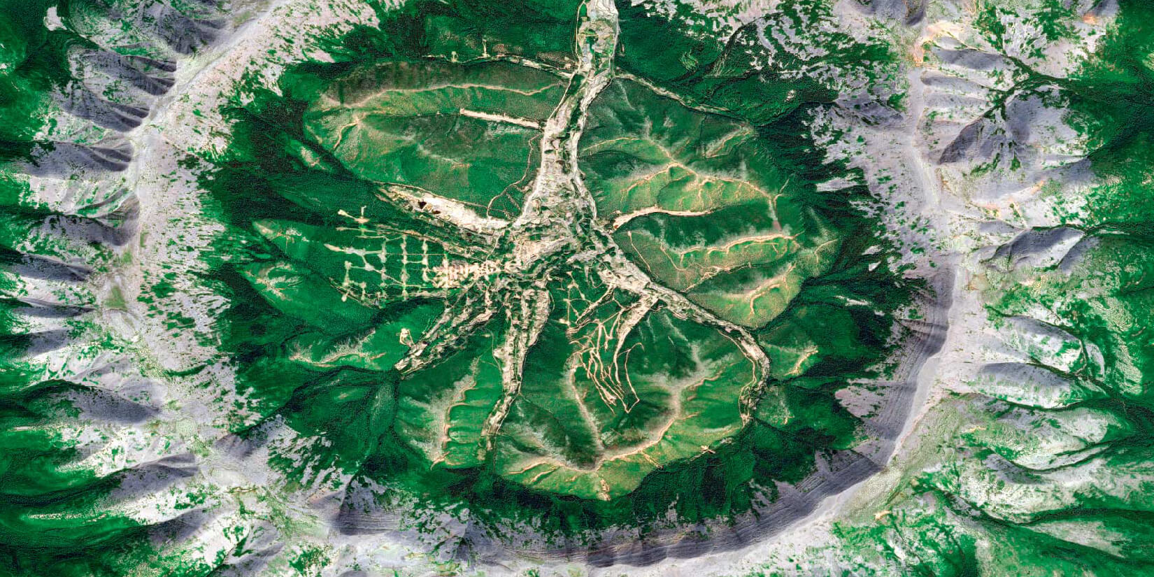
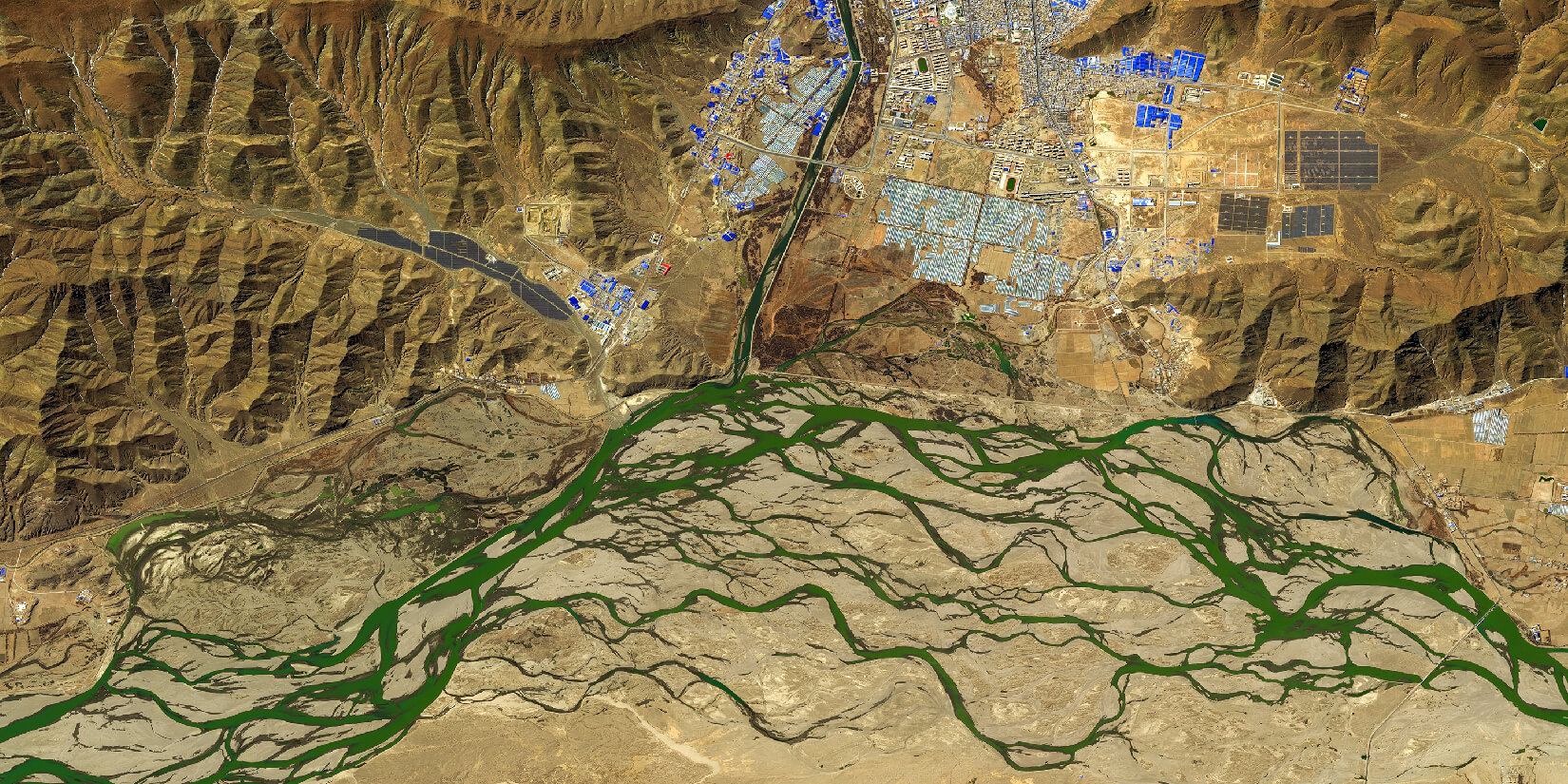
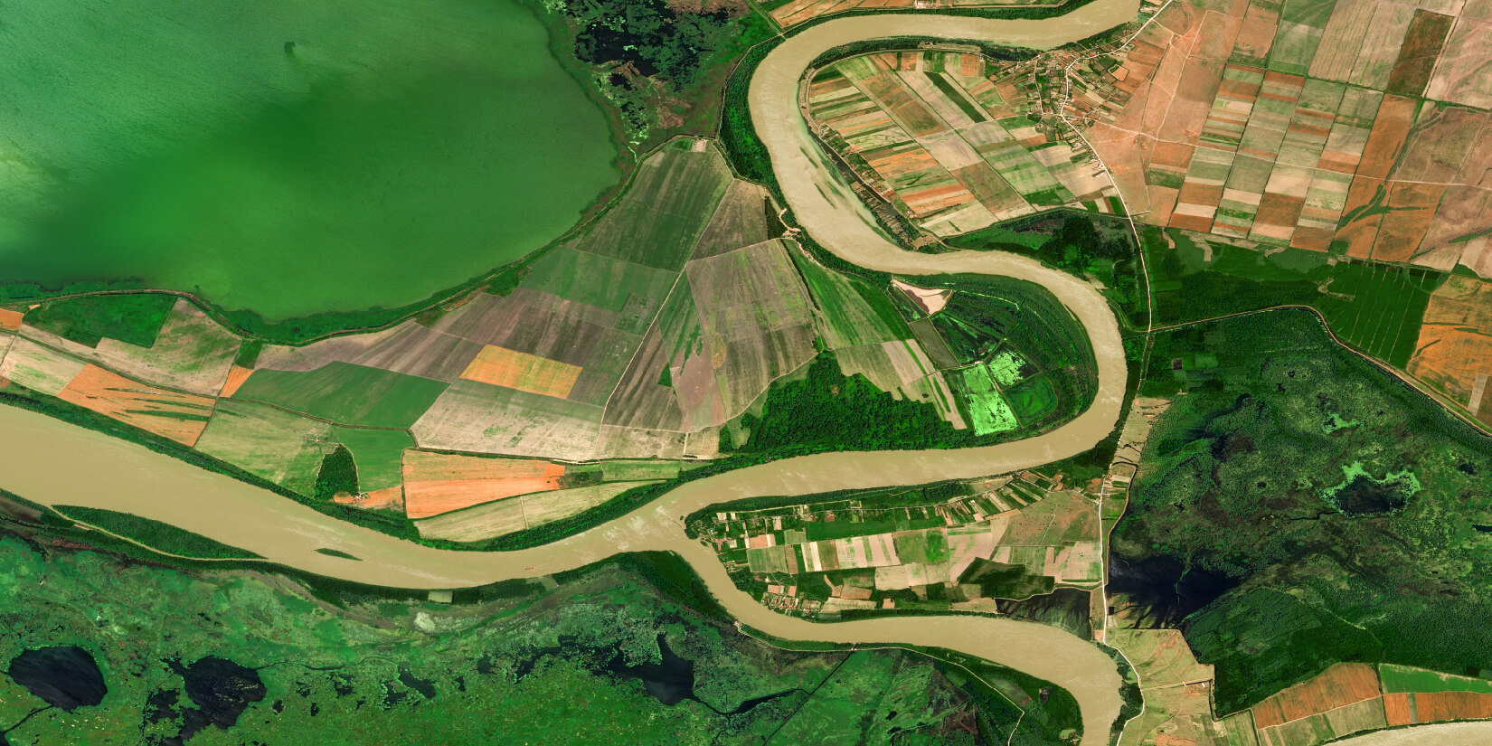
Deforestation Detection
Our Deforestation Detection tool uses satellite imagery and advanced machine learning to monitor forest loss. It detects land-cover changes and identifies deforestation patterns linked to logging or land clearing, enabling accurate assessment, insight into key drivers, and targeted conservation actions.
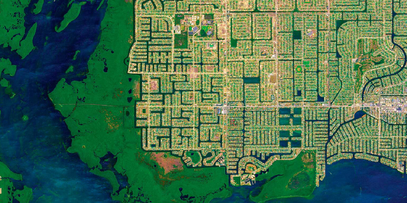
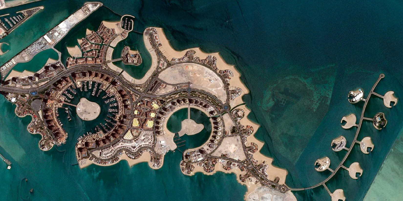
Building Detection
Our Building Detection tool uses high-resolution satellite imagery and advanced machine learning to automatically identify buildings and structural changes at scale. It efficiently analyses large areas and supports applications in urban planning, disaster response, and economic analysis.
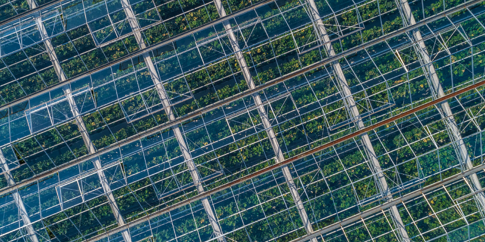
Greenhouse detection
Built on state-of-the-art deep learning segmentation algorithms and advanced image processing techniques, the solution generates segmentation maps from raw imagery, achieving over 90% localization accuracy in identifying greenhouses.
Vehicle detection
Using high-resolution satellite imagery and advanced machine learning, this solution accurately detects vehicles across urban, suburban, and rural environments, enabling effective monitoring of traffic patterns.
Ship detection
The ship detection system leverages satellite imagery and machine learning to provide comprehensive insights into port maritime activity, enhancing port management efficiency, security, and logistics optimisation.
Super-Resolution of Satellite Imagery
Satellite Imagery Super-Resolution uses advanced computational and deep learning techniques to enhance image resolution, enabling more precise identification and analysis of surface features such as structures, infrastructure, vegetation, and geological formations.
GEO360
GEO360 is a cloud-based data processing platform that unifies our AI tools in one place. Users can upload satellite imagery and apply multiple AI models—such as deforestation and building detection—directly through a web browser, without the need for additional computing resources.