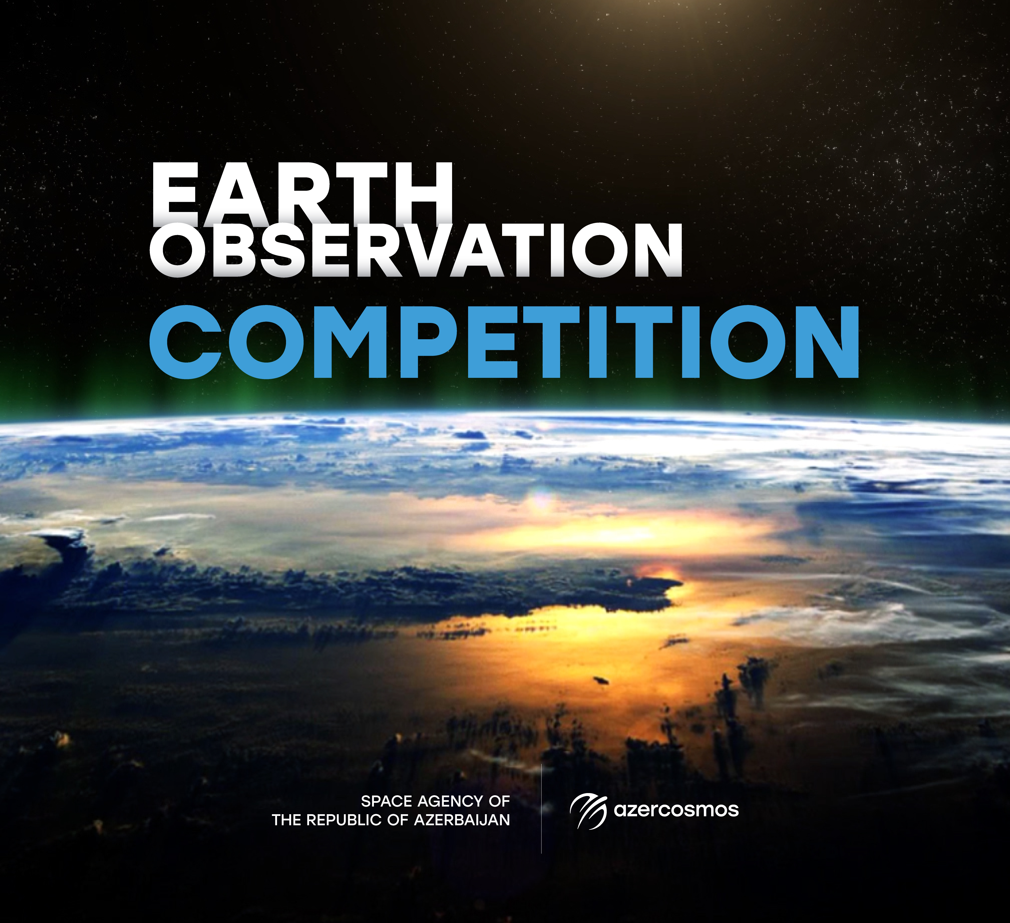
Azercosmos announces the next Earth Observation Competition
Azercosmos has announced its next Earth Observation competition. The main goal of the competition is to make satellite imagery, including the archived images of the Azersky satellite, accessible for use in Azerbaijan, contribute to the field of Geographic Information Systems (GIS), and support the development of projects within the country that utilize satellite imagery.
This year's competition is held under the theme “Map of the Future” and is dedicated to the 5th anniversary of the victory in the Patriotic War in 2025. The competition will cover areas such as the development of the Karabakh region, the creation of predictive models using artificial intelligence technologies, and innovative map design.
Participants aged 18-35, including students, teachers, scientific research institutes, individual researchers, government institutions, and representatives of the private sector, can take part in the competition.
Participants will have the opportunity to visualize their ideas in scientific works using satellite imagery in areas such as agriculture, ecology and environmental protection, monitoring of drought and desertification-prone areas, efficient use of water resources and sustainable energy sources, urban planning, determining tourism routes, and other areas.
Participation in the competition is free of charge. The registration period will be from May 1 to June 30, 2025.
The top three winners of the competition will be awarded as follows:
- 1st place: 5000 AZN
- 2nd place: 3000 AZN
- 3rd place: 1500 AZN
For detailed information about the competition rules and to register, please follow this link: https://azercosmos.az/en/earth-observation/competition