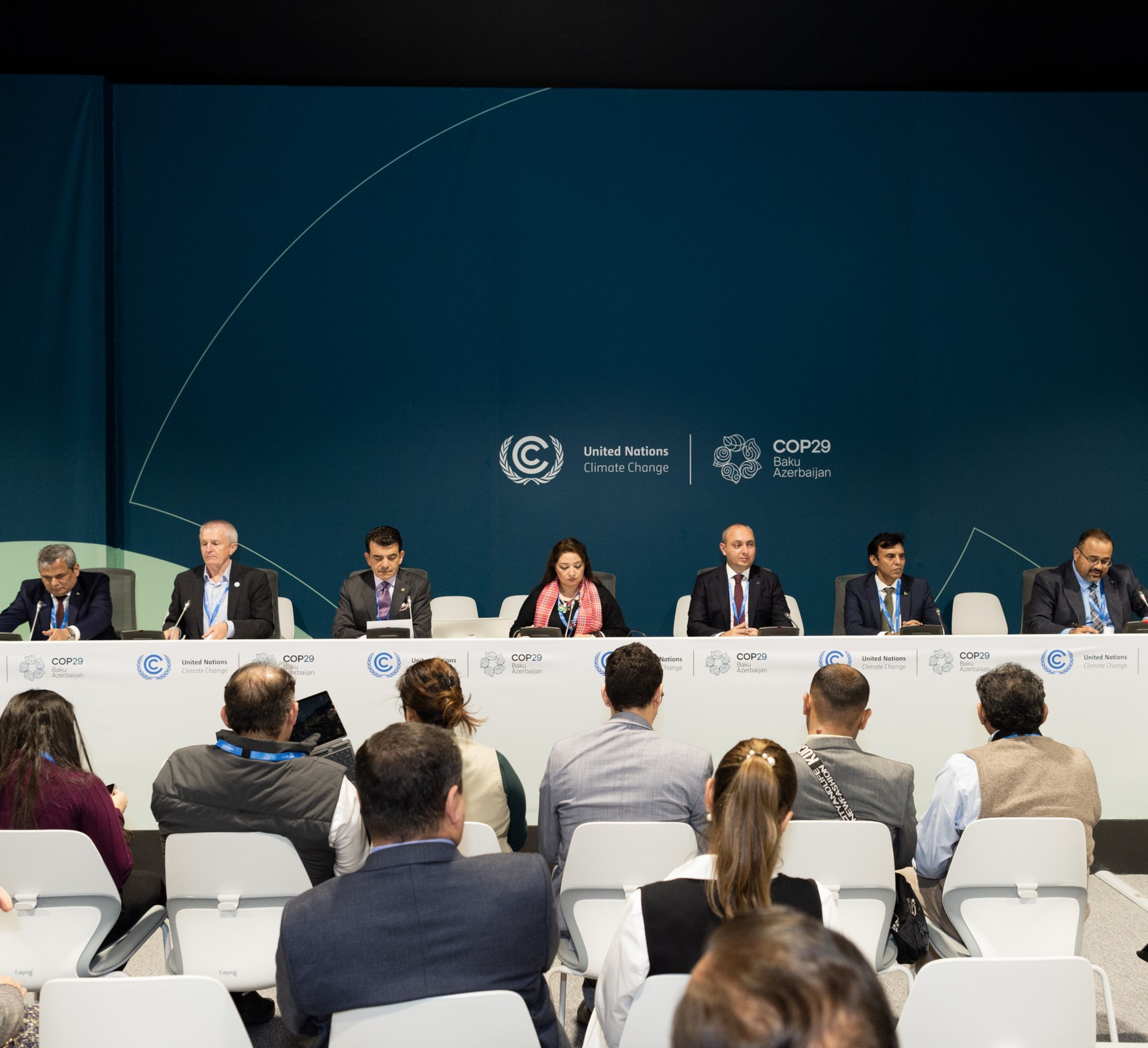
Azercosmos contributed to the international symposium of ICESCO
Azercosmos was represented at the international symposium of the Islamic World Educational, Scientific and Cultural Organization (ICESCO) on enhancing water security and biodiversity. The role of science and technology in water security, biodiversity conservation, and mitigating the impacts of climate change was discussed at the symposium, held within the framework of COP29.
The symposium featured several key figures, including Samaddin Asadov, Chairman of the Board of Azercosmos; Dr. Salim Al-Malik, Director General of ICESCO; Dr. Hisham Al-Askari, Advisor to ICESCO Director General; Mohammad Nafees Zakaria, Executive Director of COMSATS; Romina Khurshid Alam, Coordinator to the Prime Minister of Pakistan on Climate Change; and Abid Qaiyum Suleri, Executive Director of Pakistan's Sustainable Development Policy Institute.
Satellite technologies are able to provide significant benefits in addressing the ever-changing climate on Earth. These include:
- Decision-making support
- Improvement of resource management
- Timely response to environmental problems
The symposium highlighted the important contribution of satellite technologies in supporting sustainable development and solving critical environmental problems such as water shortages, biodiversity loss and climate change. It was also noted that Azercosmos has been actively supporting the country's work in this field since 2014 through space imaging and solutions.
Water shortage is a pressing issue in Azerbaijan. To address this, Azercosmos analyzes satellite data to simulate and assess water resource risks. Monthly monitoring covers potential water sources, snow cover, glaciers, reservoirs, sea levels, and transboundary river basins. This data is presented on Azercosmos' digital platform in the form of comparative analyses and dynamic maps. Given the impact of the Caspian Sea on the region's environment and economy, comprehensive satellite monitoring of the sea is conducted. For example, changes in sea level over the past 30 years and variations in sea surface temperature over the last 20 years have been monitored via satellite. Azercosmos has created a database for monitoring climate-sensitive areas at risk of desertification. GEO360, the online platform of Azercosmos, automates satellite monitoring of forest zones based on artificial intelligence, detects segmentation, and changes in national forest resources.
At the end of the symposium, it was emphasized that space-based solutions are a powerful tool for establishing ecological peace, especially in regions experiencing severe water scarcity and resource conflicts. Satellite data offers objective, real-time insights into water availability, quality, and usage patterns, which can enhance transparency among countries sharing water resources. It was also noted that satellite data helps governments understand climate models, predict droughts, and assess the sustainability of water sources, contributing to long-term planning for sustainability.