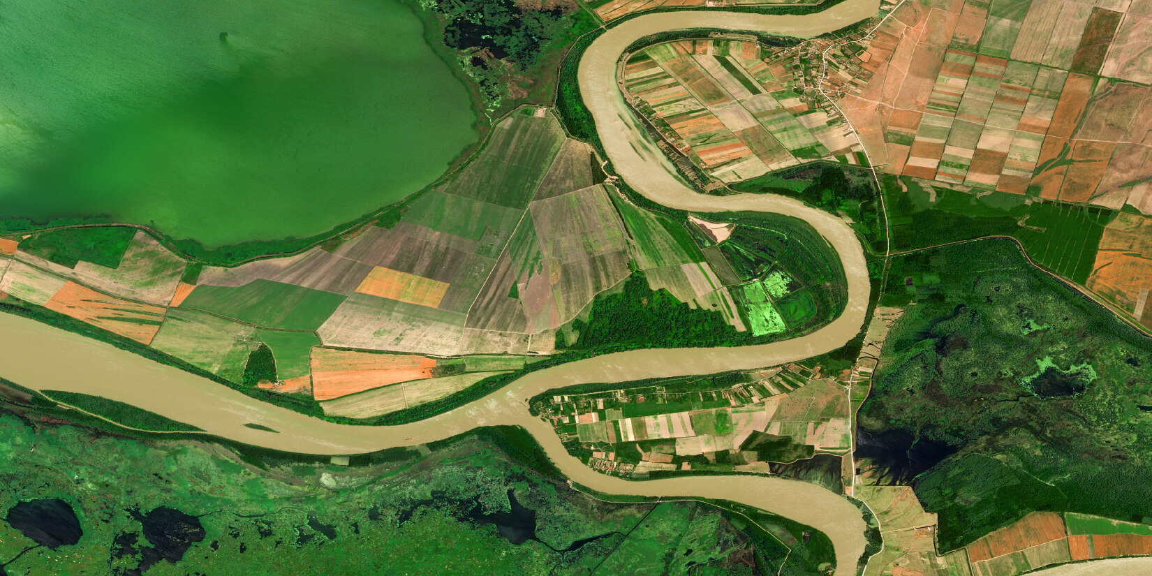
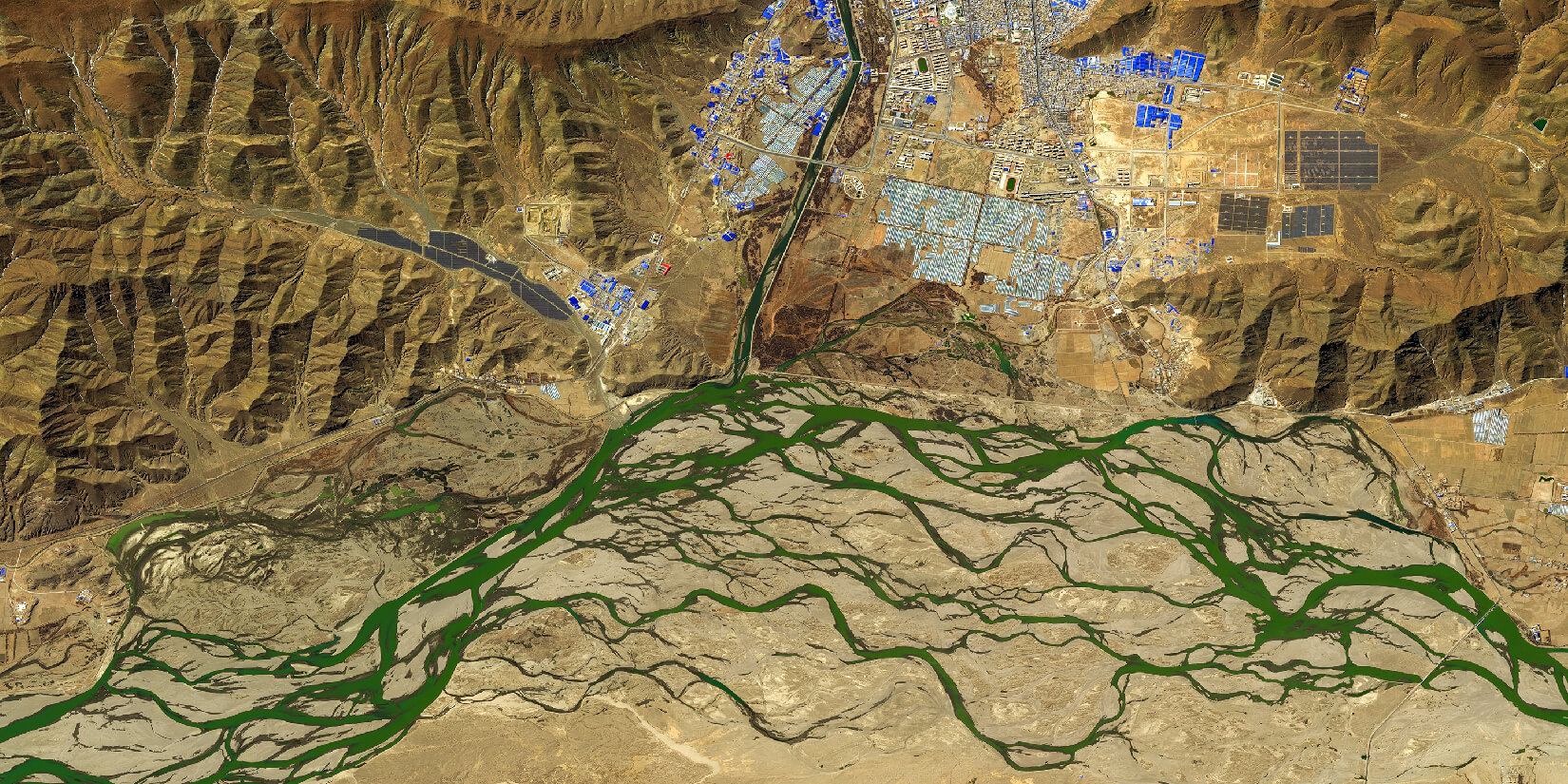
Deforestation Detection
Our cutting-edge Deforestation Detection tool utilises satellite imagery and advanced machine learning algorithms to monitor and address the escalating rate of forest loss. It effectively identifies and tracks deforestation by discerning changes in land cover and recognising patterns associated with logging or land clearing. This technology is invaluable for assessing the extent of deforestation, understanding its drivers, and implementing targeted conservation measures.
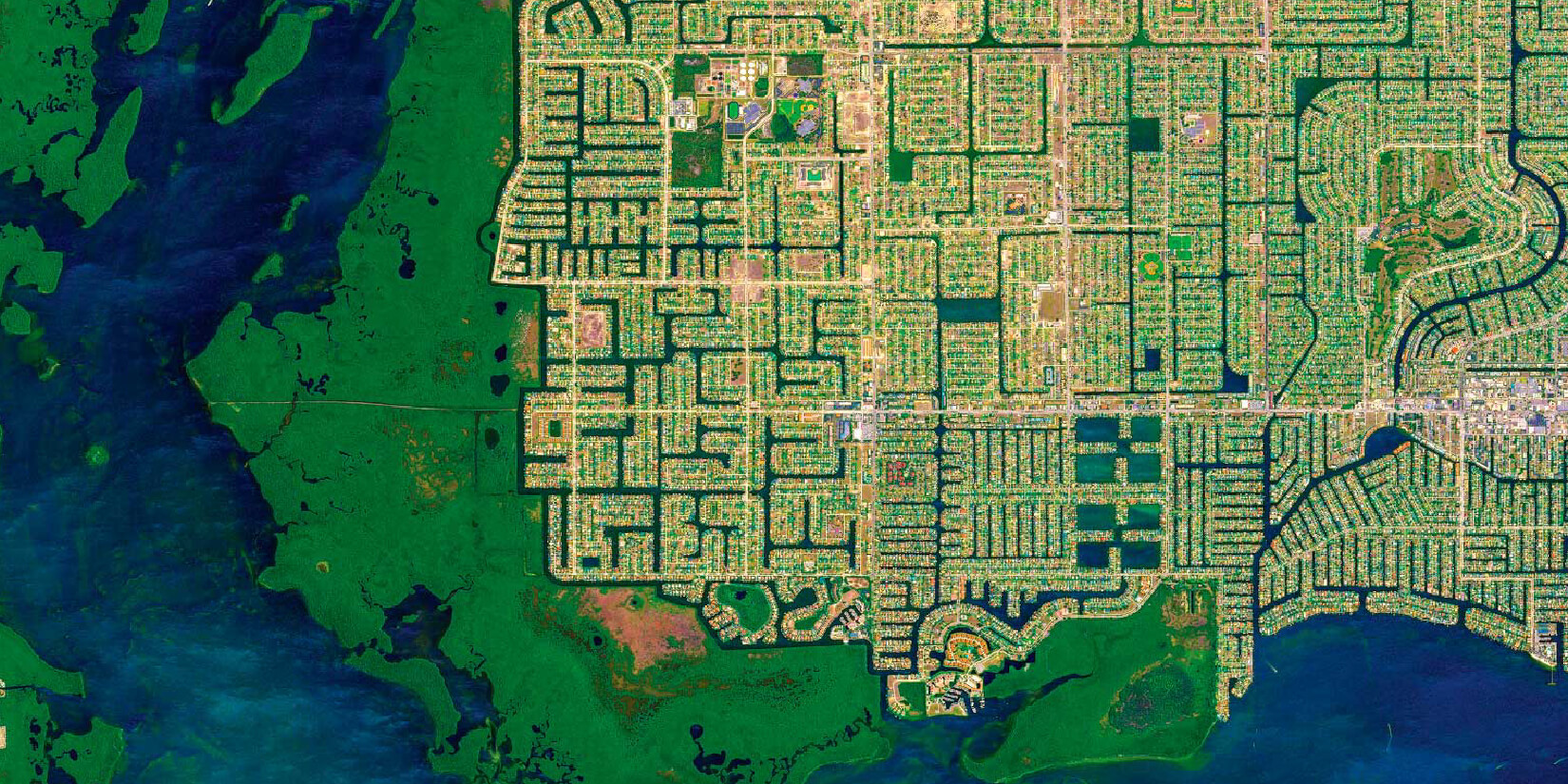
Building Detection
Our Building Detection tool, situated at the nexus of remote sensing and urban planning, utilises high-resolution satellite imagery and advanced machine learning algorithms. This technology excels at automatically identifying buildings and changes on a large scale, efficiently analysing extensive geographical areas. Its applications extend across diverse sectors, encompassing urban planning, disaster response, and economic analysis.
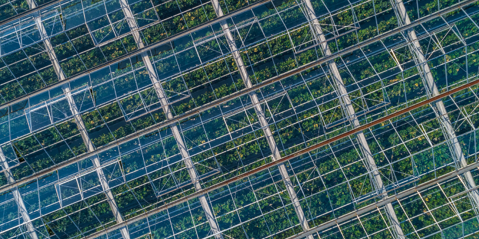
Greenhouse detection
Implemented with state-of-the-art segmentation algorithms from Deep Learning literature and employing sophisticated image processing techniques, this product generates a segmentation map from raw image files. The model achieves a localization accuracy of over 90%, effectively identifying and pinpointing greenhouses.
Vehicle detection
Leveraging the power of high-resolution satellite imagery, this innovative product employs advanced algorithms and machine learning techniques to accurately identify vehicles. The system's adaptability to various environments, including urban, suburban, and rural landscapes, makes it a versatile tool for monitoring traffic patterns.
Ship detection
The ship detection system for port monitoring is a cutting-edge solution that utilises advanced satellite technology and machine learning algorithms to offer comprehensive insights into maritime activities within ports, enhancing port management efficiency, improving security, and optimising logistics.
Super-Resolution of Satellite Imagery
Super-Resolution of Satellite Imagery represents a ground-breaking technology in remote sensing to significantly improve the resolution of satellite-acquired images, employing advanced computational techniques, including deep learning algorithms. The resulting heightened resolution facilitates precise identification and analysis of Earth's surface objects and features, encompassing structures, infrastructure, natural vegetation, and geological formations.
GEO360
GEO360 is a data processing platform that brings together our artificial intelligence tools in one place. Through this platform, users can upload satellite imagery and apply various artificial intelligence models (deforestation, building detection, etc.) on these images. Since all processes are performed in Cloud Computing, the user does not need additional computing resources and can easily proceed via a web browser from any device.