About FarmerApp
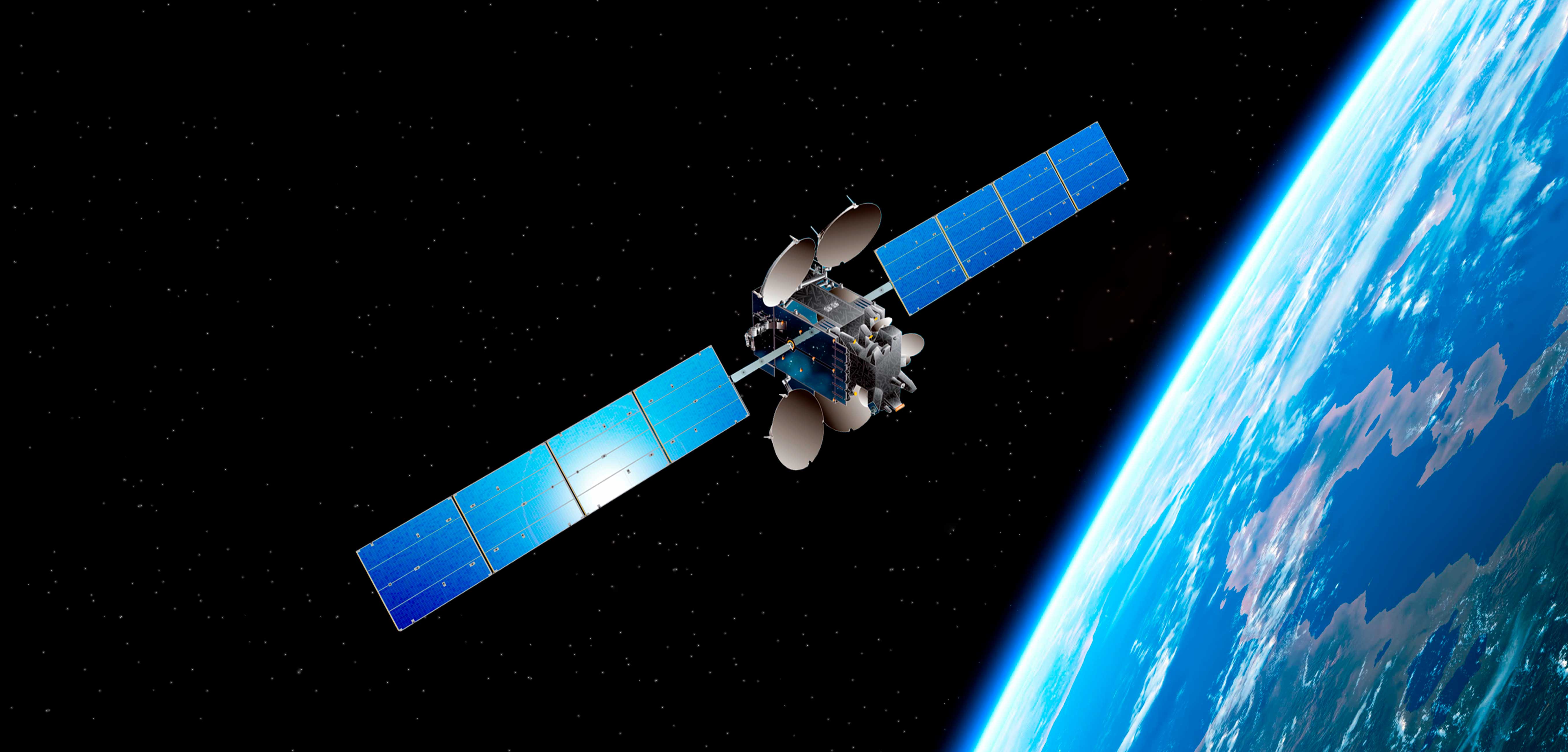
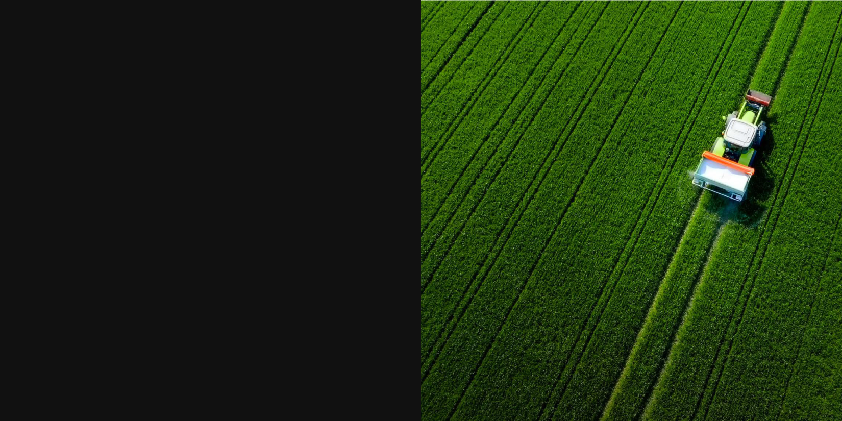
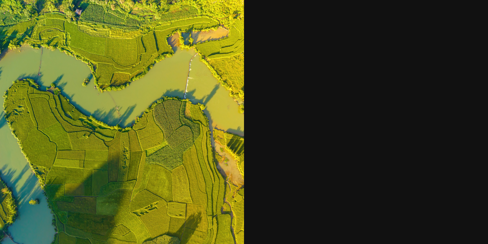
A cutting-edge digital tool that enhances agricultural productivity through satellite imagery and advanced analytics. It monitors farms by analyzing satellite images to provide vital data on conditions like NDVI, NDWI, NDRE, and temperature. The app keeps farmers updated on crop growth stages and delivers insights to optimize farming practices.
Benefits
Boost your farming with our advanced solutions that maximize crop yield through tailored recommendations. Cut costs by optimizing resource use and stay prepared for weather changes with timely alerts. Enhance efficiency with improved supply chain management and make better decisions with data-driven insights. Enjoy comprehensive farm-to-market tracking to stay connected every step of the way!
Areas of application
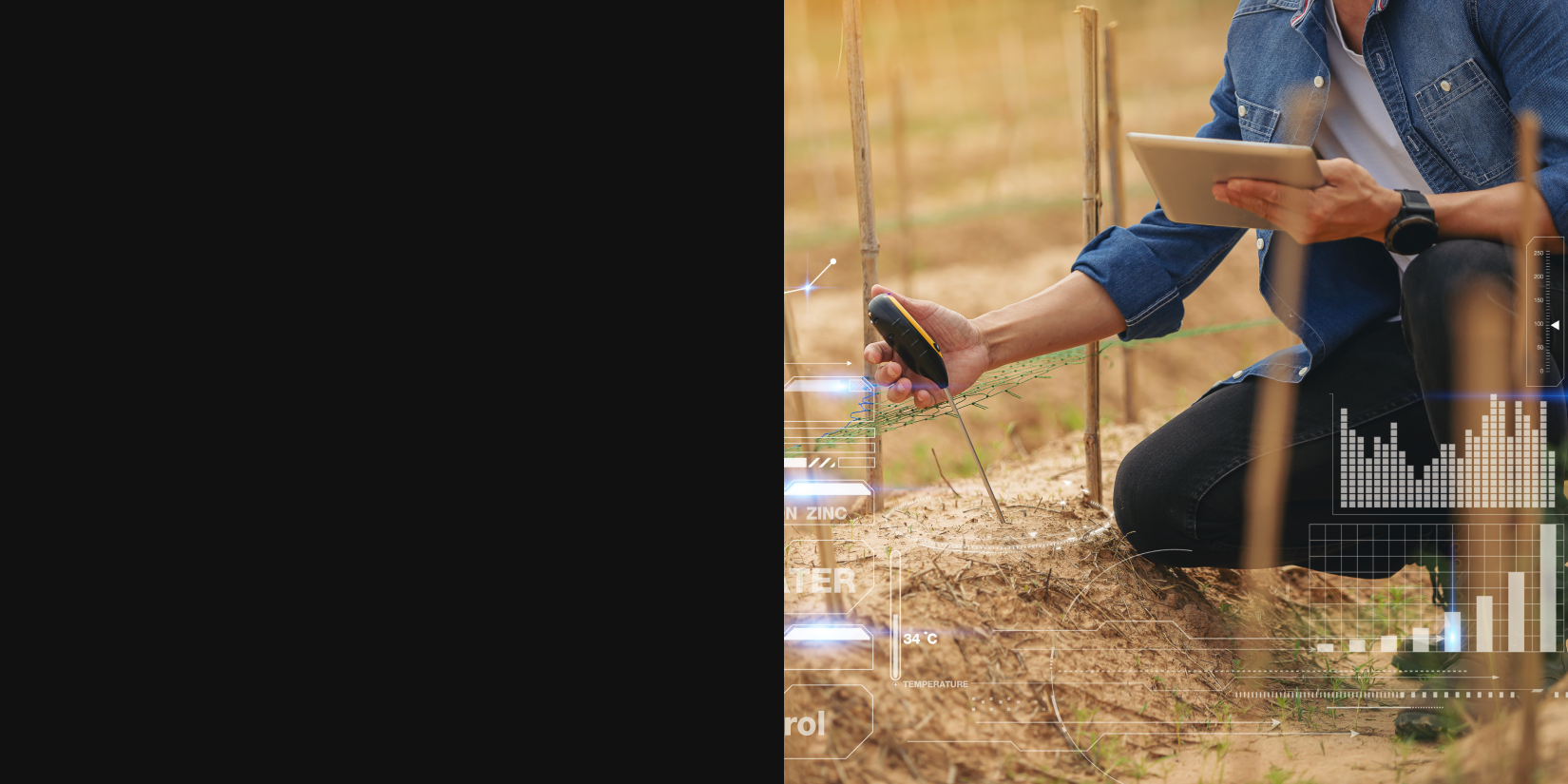
Our innovative solutions cater to all agricultural stakeholders. Smallholder farmers can boost productivity with tailored tools, while large agribusinesses streamline operations through advanced analytics. Agricultural cooperatives enhance collaboration with shared insights. Government agencies access valuable data for effective policy-making, and consultants use our tools to develop optimal strategies for clients. NGOs focused on rural development can maximize impact with insights that promote sustainability. Together, we’re creating a more resilient agricultural landscape!
Key features
Transform your farming with our cutting-edge satellite-based crop monitoring system. Gain real-time insights to boost productivity and yield. Stay ahead of weather changes with accurate forecasts and alerts. Our soil health analysis helps you make informed decisions to optimize your land’s potential. Plus, customize farm management tools to fit your unique needs. Maximize efficiency and sustainability today with our innovative platform!
