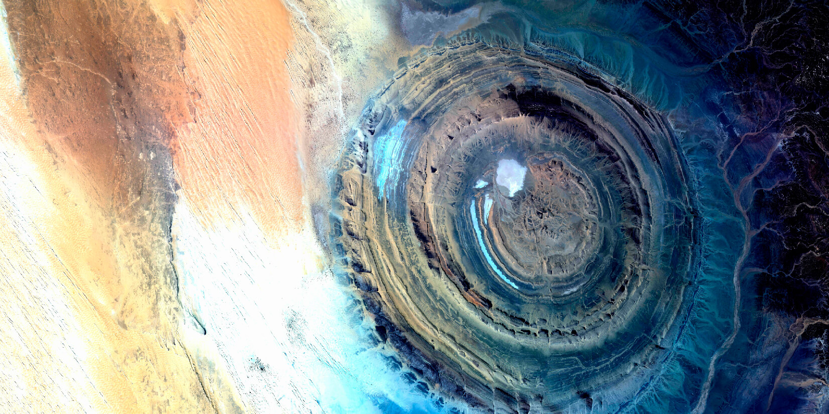
GLOBAL COVERAGE
Our Earth observation services cover any point on the planet in the shortest possible time.
![image](https://api.azercosmos.az/images/RemoteSensing&GISSolutionsblockimages-01a52d5f7c-1dc3-42ba-951e-18ea9029edd0.jpg)
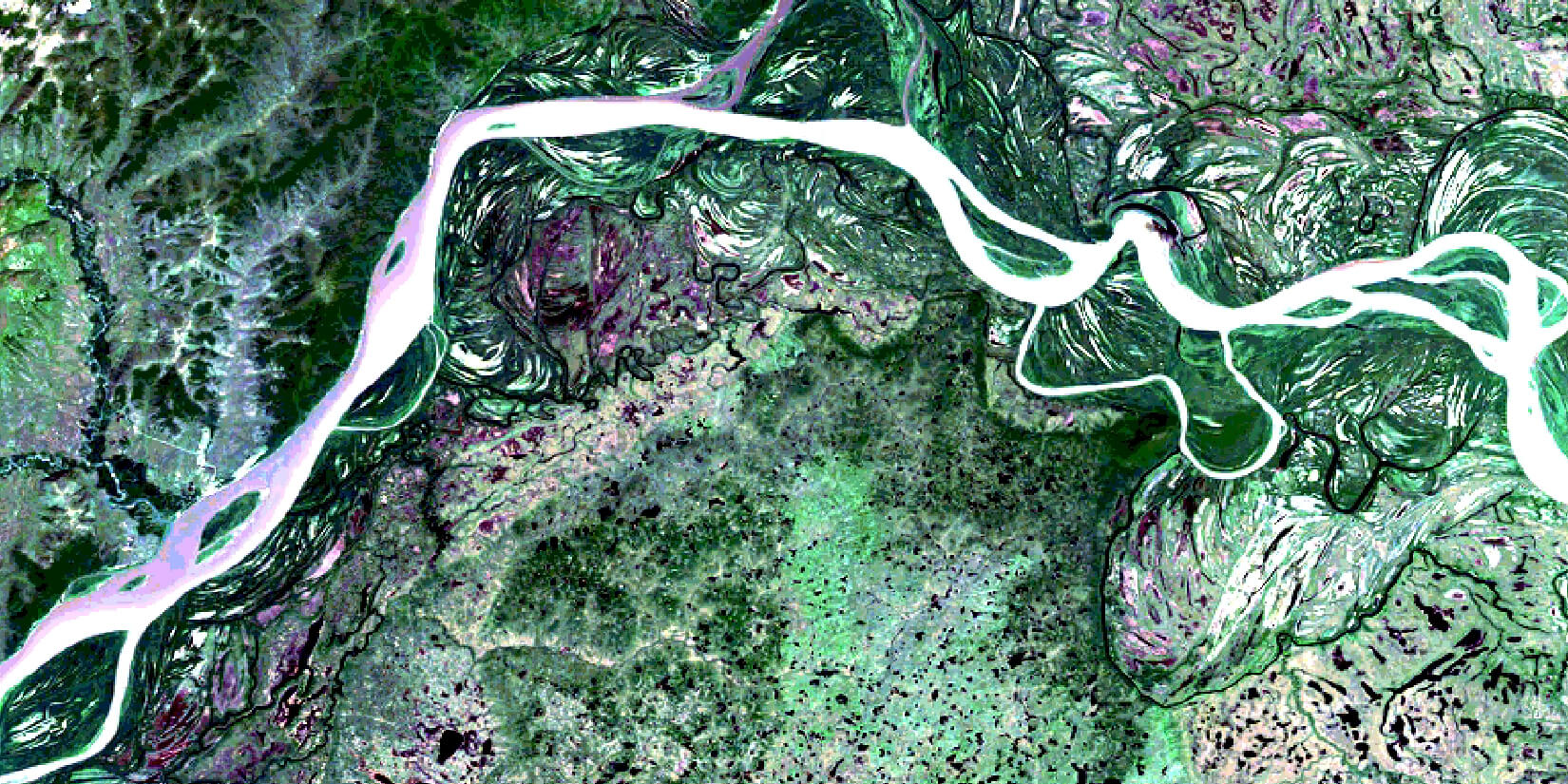
PROMPT IMAGE DELIVERY
Valuing your time and business flexibility, we deliver the requested imagery within hours.
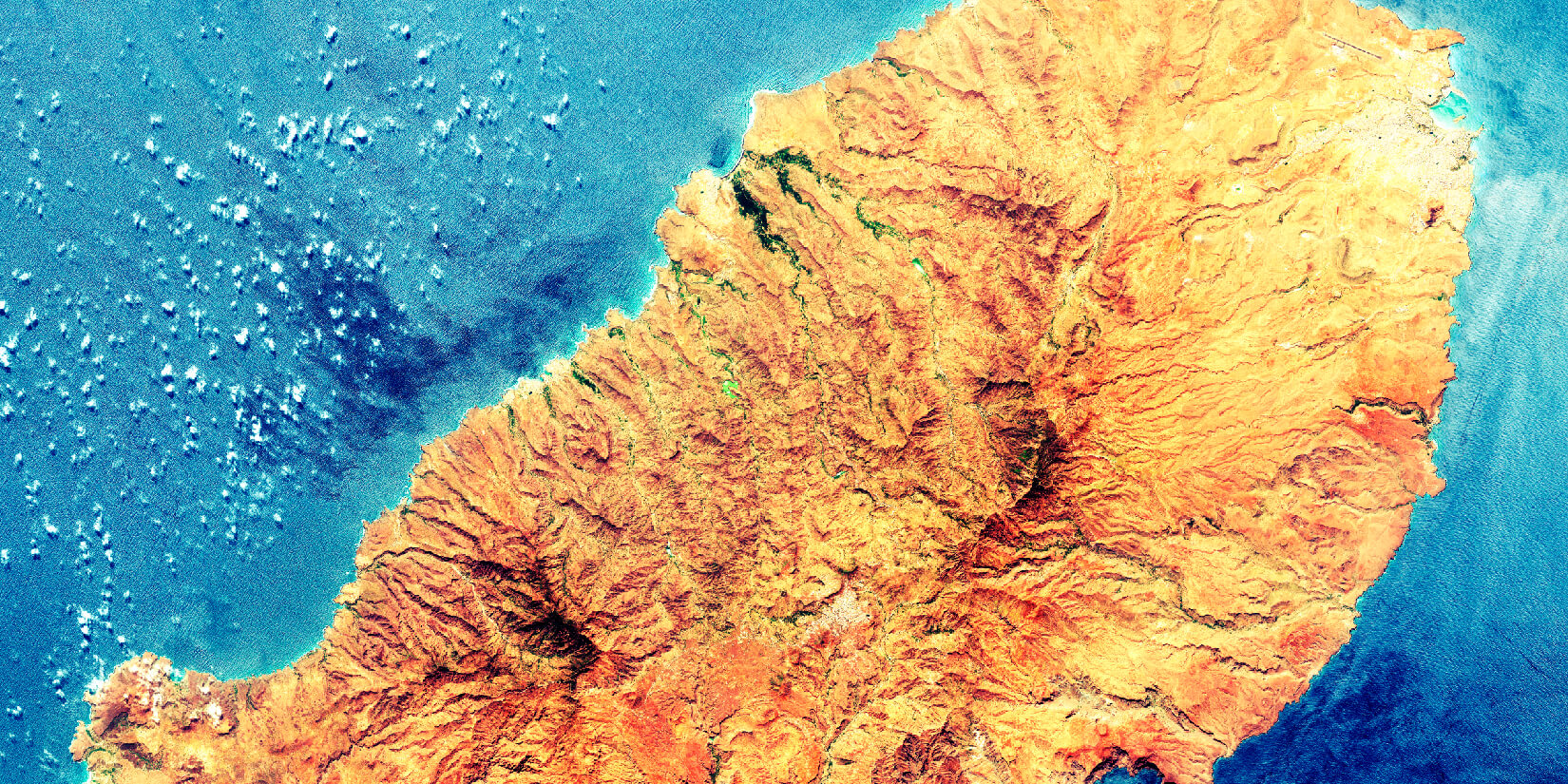
![image](https://api.azercosmos.az/images/RemoteSensing&GISSolutionsblockimages-037cd343e6-7be4-43e2-97e7-9b272376be76.jpg)
HIGH RESOLUTION
Our satellite imagery is characterised by impeccable resolution and superior quality.
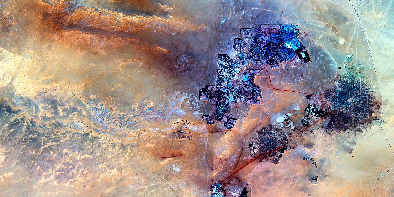
![image](https://api.azercosmos.az/images/RemoteSensing&GISSolutionsblockimages-0597fd8007-c7f4-46ce-b61f-1975f3c52bf9.jpg)
WORLDWIDE ARCHIVE
Our global archive of satellite imagery lets you source images of your area of interest from decades ago.
![image](https://api.azercosmos.az/images/RemoteSensing&GISSolutionsblockimages-09b705c568-79ce-4564-a6e3-fa3fc204dc96.jpg)
EFFICIENT CUSTOMER SUPPORT
Our experts are always ready to provide guidance and support regarding your requests.
![image](https://api.azercosmos.az/images/RemoteSensing&GISSolutionsblockimages-07cd058857-fe0d-4e7c-b30f-37265fa9f8b1.jpg)